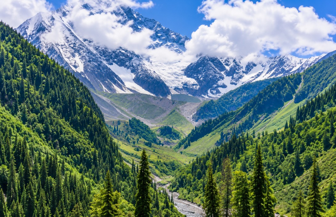
Solang Valley
A high-altitude valley on the Manali–Rohtang axis in Himachal's Kullu district, operating as a winter skiing base and a summer aerial-adventure hub within the same terrain footprint. This reference outlines the seasonal operating modes, attractions, and access relevant to Himalayan circuit planning.
Site character
Solang Valley sits at approximately 2,560 metres, between Manali and Rohtang Pass in the Kullu district. Its terrain — open meadow flanked by pine and deodar forest, framed by the Beas River valley and surrounding Pir Panjal peaks — supports two operationally distinct tourism modes on the same ground: snow-sport terrain in winter and aerial/ground adventure terrain in summer.
Beyond adventure sport, the valley carries a functioning agricultural base — apple cultivation alongside tourism — and sits within reach of Manali's broader cultural circuit, including Hadimba Devi Temple, Vashisht's temple and hot springs, and Old Manali, allowing adventure-led itineraries to be paired with cultural stops.
Seasonal operating modes
Snow & ski operations
DECEMBER – FEBRUARY- Skiing and snowboarding on snow-covered slopes
- Snowmobiling and sledging
- Instructor-led sessions and equipment rental on site
- Rohtang Pass access weather-dependent in this window
Aerial & ground adventure
APRIL – JUNE- Paragliding and ziplining over the valley meadow
- ATV rides, mountain biking, and zorbing
- Rock climbing, camping, and horse riding
- Trekking access toward Beas Kund and alpine meadows
On-site & adjoining attractions
Solang ropeway
An aerial cable ride offering elevated views over the valley floor, surrounding forest, and Himalayan ridgeline.
Rohtang Pass & Atal Tunnel
Adjacent high-altitude crossing points, extending a Solang-based itinerary into the wider Lahaul route, subject to seasonal road access.
Beas Kund trek
A route into alpine meadows and the source of the Beas River, alongside the Anjani Mahadev Temple trail.
Manali town
Old Manali, Hadimba Devi Temple, and Vashisht's temple and hot springs sit within short reach, alongside Kullu shawl and handicraft shopping.
Ecology & local context
Surrounding forests support Himalayan wildlife including monals, pheasants, musk deer, and — at higher elevations — Himalayan black bear, with the nearby Great Himalayan National Park, a UNESCO World Heritage Site, extending the region's ecological standing. Local cuisine includes Siddu, Dham, Babru, and trout, alongside apple products and honey sourced from the surrounding valley.
Operational notes
- Temperatures shift quickly at altitude; layered and waterproof clothing is advisable in all seasons, with thermal wear required in winter.
- Adventure activities should be arranged through authorised, licensed operators only.
- Early arrival at the valley reduces crowding and improves conditions for photography.
- Road access to Rohtang Pass and the Atal Tunnel corridor is weather-dependent and subject to seasonal closure.
Seasonality
| Period | Conditions | Notes |
|---|---|---|
| DEC — FEB | Winter sport | Heavy snowfall; primary window for skiing, snowboarding, and snow-based activity. |
| APR — JUN | Adventure sport | Pleasant weather suited to paragliding, trekking, and outdoor activity across the valley. |
| SEP — NOV | Clear views | Post-monsoon clarity, favoured for photography and sightseeing. |
Access & connectivity
Nearest airport, with onward road travel to Solang via Manali.
Both require onward road travel to reach Manali and the valley.
Accessible by taxi, local bus, rental bike, or private vehicle.